Long Swamp Restoration Trial – Week 4 update – Now the trial is really beginning!
After a big day today (Friday) – including a big dump of rain to test our commitment! – we are now officially taking the Long Swamp Restoration Trial into new territory.
Although it has been a massive effort to get the Phase 3 structure to this point, today we finally passed the ‘tipping point’ referred to previously (see this blog) – with the Phase 2 structure going underwater and no longer setting the maximum retention height for water in this particular corner of Long Swamp.

This is how the Phase 2 structure looked by the end of Day 7 – last Monday.

The same location by the time we started Day 8 of works on Friday – just a minor difference between up and downstream levels, as a result of levels further stabilising after Phase 3 structure works last Monday.

By the end of Day 8, with another layer of bags in place, and the Phase 2 weir is no longer operating – with still water and levels now equalised above and below the structure as shown.
So we are finally in the position of being able to directly manipulate levels in Long Swamp through the management of the Phase 3 structure, which is also now really taking shape. But before we get to the updated images of the structure, here are the facts on how the water level in Long Swamp relates to the depth of the channel upstream of the Phase 3 weir:
- Since the channel began flowing a couple of weeks ago, the Phase 2 structure had been holding levels in the deepest portion of Long Swamp (just upstream from the structure) steady at 34 cm deep.
- Until this morning, even though the channel depth upstream of the Phase 3 weir had increased by 87 cm from its original flowing depth of 53 cm to 140 cm (as the structure has increased in height), the level in Long Swamp was still sitting unchanged at 34 cm.
- However, with the Phase 2 structure now taken out of the equation (with levels surpassing the sill height that it had previously set), we should begin to see the levels between the two gauge boards correlate as water depth increases – as they are now effectively located within the same weir pool.
- To demonstrate this (now direct) connection, when we left the site this afternoon, the swamp level has risen by 2 cm to 36 cm deep, while the channel above the Phase 3 structure had risen to 144 cm.

Where we were up to at the end of Week 3
Upstream Water Level – 122 cm, Swamp Level – 34 cm

End of Day 7
Upstream Water Level – 133 cm, Swamp Level – 34 cm

Start of Day 8
Upstream Water Level – 140 cm, Swamp Level – 34 cm

End of Day 8 and End of Week 4
Upstream Water Level – 144 cm, Swamp Level – 36 cm

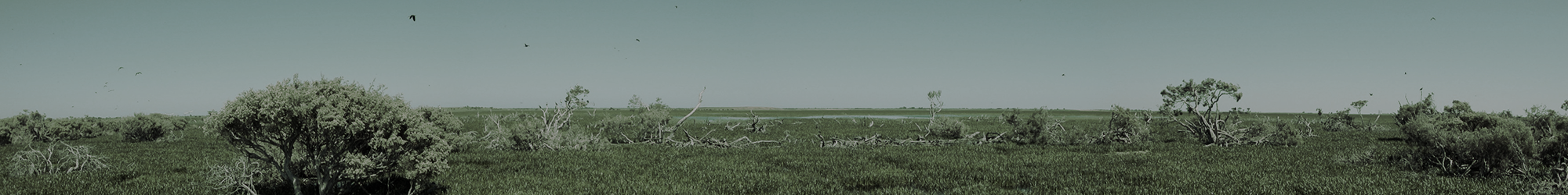
This is our gauge board and photo-point in the deepest corner of Long Swamp proper, situated near the beginning of the Nobles Rocks channel – as it appeared at the end of Day 8 – 36 cm deep. Given the stage we have reached with the trial, it is this gauge board photo-point in Long Swamp that will be most revealing over the weeks ahead.
So… while the inundated channel upstream of the Phase 3 structure is quite a sight now (our volunteers think it is now deep enough for a swim!), it is worth remembering that at its deepest point, Long Swamp proper in the vicinity of Nobles Rocks, is currently only just over a foot deep (36 cm).
Which means that to have the desired impact on restoring aquatic habitat values, we have to continue to go up – but thankfully unlike last year, we are now working at a location where this is possible.

Starting to wrap things up! – This image form the end of Day 8 shows the target height of the structure, where it has now been completed (and wrapped in geofabric) adjacent to the eastern bank. We are getting there!