New ideas for collecting spatial information
Every now and then while I’m travelling across the region, I hear a story on the radio that really catches my attention.
This ABC Radio National Sunday Profile is one that is worth sharing…
Not only does the segment share the inspiring story of an Aussie (Chris Boshuizen, physicist) following his passion, but the technology it describes is of great interest to those of us working in environmental management.
You may or not be aware of just how valuable images of the earth surface are in our field – but, in short we’d now be hard pressed to do our job well without them! The more information we have access to, the better we can do our work of interpreting environmental change and designing on-ground solutions.
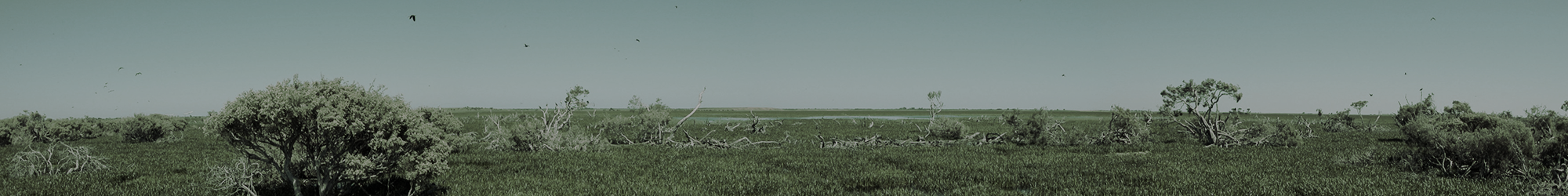
For just one example application (of many), at the moment we rely heavily on both current and historic aerial imagery (for spatial extent) and LiDAR imagery (for elevation) to help us plan and design wetland restoration solutions on private and public land – an approach that, in combination with trials at sensitive sites, is working extremely well.
If any of this sounds interesting to you, please follow the link and have a listen!

An example of how aerial and LiDAR imagery together can form a three dimensional view of the landscape that, when closely investigated at a finer scale, can greatly assist planning of on-ground works, such as wetland restoration. Image produced by Lachlan Farrington, NGT.