The dynamics of the Surry River estuary and exploring the impacts of artificial mouth openings
The Surry River estuary at Narrawong in south-west Victoria contains the ‘Salt-Wedge Estuaries Ecological Community’; which is one of 25 known representations of this community along the southern Australian coastline, from the South Australian/Victorian border to Wilson’s Promontory in Gippsland. The Salt Wedge estuary community was recently listed as endangered under the Environmental Protection and Biodiversity Conservation (EPBC) Act, 1999. A key characteristic of this community is a highly stratified (or layered) water column, with saline bottom waters forming a ‘salt wedge’ below the inflowing fresh layer of riverine waters.

The formation, movement and change in this stratifying is dynamic (driven in part by the intermittent opening and closing of the estuary mouth); and has important implications for the inherent physical and chemical properties for these estuaries and ultimately their biodiversity and ecological function.
Due to the differing properties of the estuary, this ecological community is characterised by a core component of estuarine-endemic (‘true estuarine’) taxa, along with an associated component of coastal, estuarine, brackish and freshwater taxa that may reside in the estuary for periods of time and/or utilise the estuary for specific purposes (e.g. reproduction, feeding, refuge, migration). The flooding of the estuary during wetter months (May to July) into surrounding floodplain is also an important natural process which allows important life cycle events of many plants and animals to occur, and keeps associated wetlands and catchment areas healthy.
A closed estuary will eventually open – normally, as a result of consecutive high river flows – which raise the water level to a point where it flows over the estuary berm and scours a channel, creating an outlet to the sea. To understand this dynamic a bit more, you can watch this short Glenelg Hopkins CMA video.
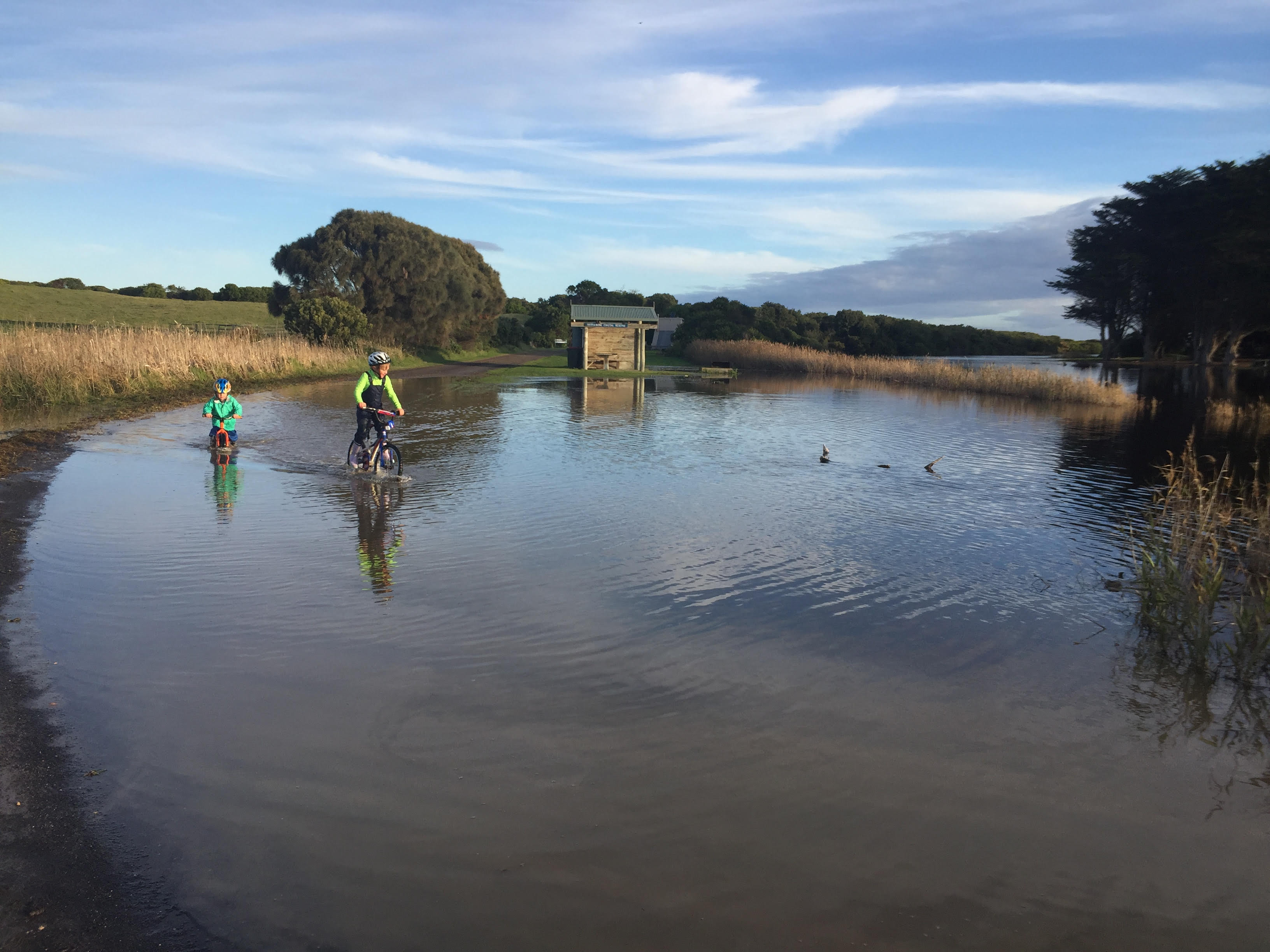
Estuaries like the Surry are amongst the richest natural environments in the country in terms of biodiversity, and also contribute millions of dollars to the economy through recreation and tourism each year. As a consequence of the increased human activity around estuaries – including the infrastructure and farmland that has been established in close proximity – the flooding cycles of estuaries (particularly in the most wet of seasons) can result in human impacts such as the short term inundation of jetties, roads, and tracks, dwellings or marginal farmland. This then raises the question of artificially opening estuaries to lower water levels. Historically, estuaries like the Surry were likely being artificially opened by surrounding landowners or land managers as was seen fit.
A significant fish kill of an estimated 30,00 fish as well as many Short-finned Eels and invertebrates occurred following an illegal opening at the Surry estuary mouth in 2005. Why this fish kill eventuated is summarised by another GH CMA video below – do take the time to watch it before you read on!
The outcome was the Estuary Entrance Management Support System (EEMSS). This system provides a consistent framework across Victoria for assessing the risk (social, economic, cultural and environmental) associated with opening or non-opening at a given time and in a given state of the focal estuary. The system is consulted by regional Catchment Management Authorities (CMAs), who are the responsible authorities for approving and managing permitting for artificial openings under the Water Act 1989. A number of thresholds must be met for an artificial opening to be employed. While the social impact of flooding is usually the initial trigger, the inflows to the estuary, the current water quality and the stratification of the water column also must be assessed to determine whether subsequent environmental impact (fish kill) is probable.

A few of the many species of fish impacted by the recent opening of the Surry Estuary. Top: Black Bream. Bottom: Tamar Goby.
 Unfortunately, it appears that 15 years after the devastating fish kill of 2005, the Surry was again illegally opened earlier this month, and is now under investigation.
It is considered that predicted inflows from rainfall events would have been sufficient to create a natural opening within hours or days of when the illegal opening occurred, and a mass fish kill would have likely been avoided. In this small window of time, enough mixing of the water layers could have created enough remaining oxygenated water for the majority of fish to survive in.
While this ecosystem and its biota have a degree of resilience, there are limits to what can be balanced and recovered. If illegal openings continue under conditions that result in significant ecological consequences, this ecological community and all that it provides may be significantly compromised.
The Friends of the Surry River have developed a great document that collates a lot of collective knowledge of the Surry Estuary and its value. You can click on the title image below to read what they have to share with you!
Friends of Surry 2020 letter 4