Tookayerta catchment report: sharing a complex story of landscape change
In conjunction with the recent work completed for Hesperilla Conservation Park, Natural Resources SA MDB also asked NGT to provide a broader view and understanding of landscape change in the wider Tookayerta Catchment (around Mt Compass) on the Fleurieu Peninsula south of Adelaide – with a view to this work helping us understand where and if opportunities might exist in the area for hydrological restoration works in the future.
The project involved a series of steps that started back in December 2016 with a public information session at Mt Compass, and led to further community consultation, a technical review workshop, site visits, meetings with landholders and the creation of a series of new data layers to help inform our analysis. We’ve also dug through the history books to help us better understand exactly why the catchment looks like it does today.
One of the most illuminating maps (created by NGT’s Lachlan Farrington) in the final report, shows – for the first time – the extent of artificial drainage across the catchment, on the basis of our detailed analysis of aerial photography taken over the past 70 years. If you were wondering just what key activity has primarily caused the Swamps of the Fleurieu Peninsula ecological community to become so threatened, then this map should help you understand why…

So next time you drive over a waterway on the Fleurieu Peninsula, just remember that it may not be a natural creek. If it looks a bit “too straight”, or has a bank on one side, then there is a good chance that it is an artificial drain that was dug many decades ago (in some cases, up to 120 years ago) and continues to shape the eco-hydrology of the environment today.
But fear not, there are many important sites that remain in the catchment, and many possibilities for restoration. While the preliminary work we’ve now competed doesn’t drill down yet into all the details, there are a number of exciting possibilities worthy of further investigation that have been identified.
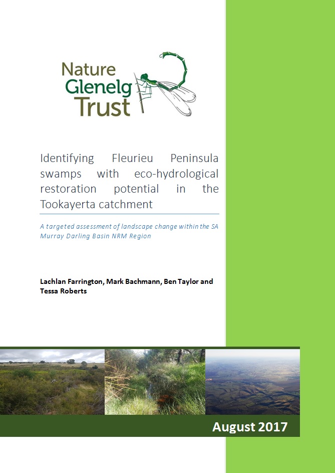
To see what they are, and to understand a bit more about the fascinating environmental history of this part of SA, you can download a copy of the final project report here (NGT Tookayerta Catchment Assessment – FINAL for website – 23-08-2017) or by clicking on the cover image right.
This project simply wouldn’t have been a success if not for the generosity of a wide range of people (local landholders, researchers, NRM staff from a wide range of organisations, etc.) sharing their knowledge with us. In particular, a very special mention goes to the Conservation Council of SA (especially Bec Duffield, Tim Vale and Marcus Pickett) and the Goolwa-Wellington LAP (John Gitsham) for generously sharing their extensive local knowledge with us.
Finally, a huge thanks to Nicola Barnes (project manager) and the rest of the crew at Natural Resources SA MDB.
From here, the next task is to continue to work together to see some of the ideas presented in this report pursued, hopefully leading to restoration action on the ground in the future.
For any enquiries please contact Ben Taylor or Mark Bachmann at NGT.
PS – If you have worked with us on this project and would like a printed copy of the final report, please make contact we’ll get one to you.

