Wetland Restoration on Private Land Case Study 1 – Heywood District
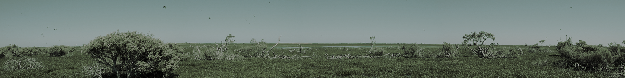
This wetland restoration project involved the construction of an earthen weir and the fencing out of a wetland area within a grazing property near Heywood, to aid ecological restoration of the wetland system. The installation of an earth weir embankment has been designed to restrict artificial drainage outflows from a small wetland within this landscape.
The earthen weir, designed by Dan Anderson from Nature Glenelg Trust and constructed by local earthworks contractors (Farmers Field Service), was installed within an existing drainage channel on the property on Wednesday 19th June 2013. The weir structure has been designed to enable the re-hydration of a 2.4 ha wetland site by restricting the drainage outflow elevation by up to 80 cm within the existing drainage channel, thereby increasing the depth and duration of seasonal inundation. In the right situations, where adjustable water level regulation is not required, earthen weirs can provide a cost-effective wetland restoration solution.
The reinstatement of hydrological (water) regimes is an integral component of restoring wetland systems. More imagery from this site will be provided after winter rains, later in the year.
This Case Study is the first in a series to illustrate wetland restoration in practice, delivered through Nature Glenelg Trust’s Wetland Restoration Program on Private Land and funded by the Australian Government’s Clean Energy Future Biodiversity Fund.
Note that this Blog will be also be retained for future reference under the wetland restoration project menu at this address.

Image I. showing existing drainage channel, adjacent to the low lying wetland area.

Image II. The use of clay materials acquired from the site to cap and line the triangular earth weir. Impervious clay materials reduce erosion and restrict infiltration to help retain the integrity of the embankment and encourage surface water movement over the crest.

Image III. The embankment completed with rock ballast capping, looking back toward the wetland depression. Note that the drainage channel remains as the relief point for all flow discharge. This ensures that the current drainage pattern remains post modification.