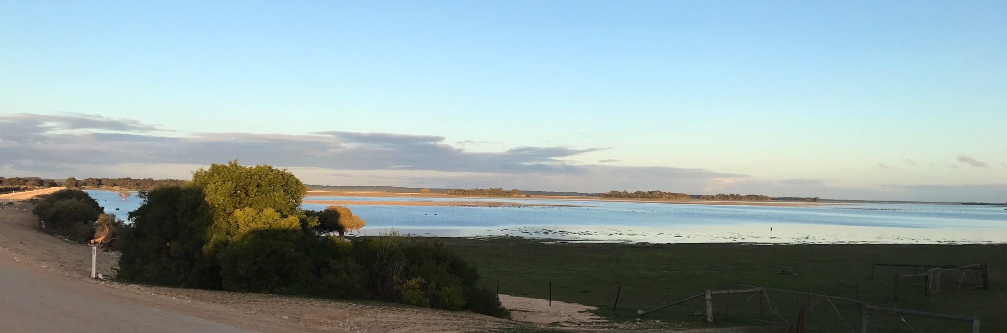
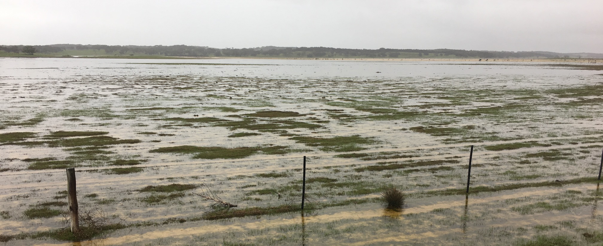
Let’s explore the fascinating history of Tilley Swamp, now filling for the first time in decades …
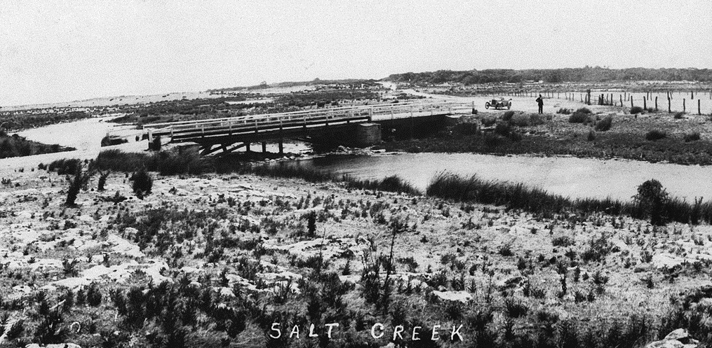
Although we haven’t had a great year for rainfall across most of the regions where NGT works, there has still been enough rain in the South East of SA to begin the diversion of water down the Tilley Swamp Watercourse for the first time in decades, resulting in views like this …
As discussed in this blog back in May 2019, this wetland is being restored as part of the South East Flows Restoration Project, with works now completed.
After the May article, I was invited to speak with Selina Green from ABC South East about the project, to explain what it will achieve for wetlands in the Upper South East and talk about NGT’s role in helping to secure this fantastic outcome. You can listen to the interview here:
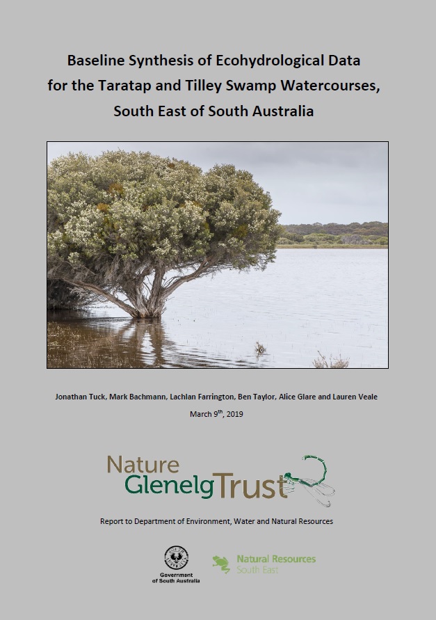
Last year NGT also took on a more formal task for the South East Flows Restoration Project. We were engaged by the Department for Environment and Water to define the current ecological ‘baseline condition’ of the wetland – so we’ll have an accurate way of measuring and understanding future changes to the wetland as a result of the project. As well as collating data, this involved a thorough assessment of the hydrological and ecological history of the area, so that we could piece together both the original character of Tilley Swamp, and fully understand the sequence of historic events that led to its current state and condition. This is something that we have done for several of our wetland restoration projects; however, none of those sites are quite of this scale!
You can download a copy of the report here or click on the image of the report cover (right).
Finally, to give you a brief introduction to this body of work, below is a summary article that I wrote recently for the Wetlands and Wildlife Newsletter (#59, June 2019) [also available here as a pdf]: