An introduction to a wetland wonderland: the Apsley Marshes Ramsar site
In late October we undertook a reconnaissance trip to explore the Apsley Marshes Ramsar site, located immediately adjacent to the northern end of Moulting Lagoon. The east coast of Tasmania has been experiencing an unusual number of east coast lows this spring, which together with the influence of La Niña have resulted in high, extensive rainfall and generally very wet conditions. Although the floods of March have long receded, at the time of our recent visit water levels in the Marshes were high and a strong flow was present through the Marshes from the Apsley River in the north to Moulting Lagoon in the south.
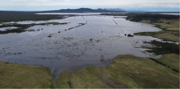
The site comprises a complex of fresh, brackish, and saline wetlands influenced by inflows from the Apsley River, Apsley Creek and tidal ingress from Moulting Lagoon. There are also surrounding floodplain areas of shallow meadows and marshes that appear to have a hydrology somewhat independent of the Apsley River, at least under typical flows. It is likely that the Marshes area is highly dependent on groundwater during extended dry periods, but also strongly influenced by the type of episodic highly variable, surface inflows we have experienced this year.
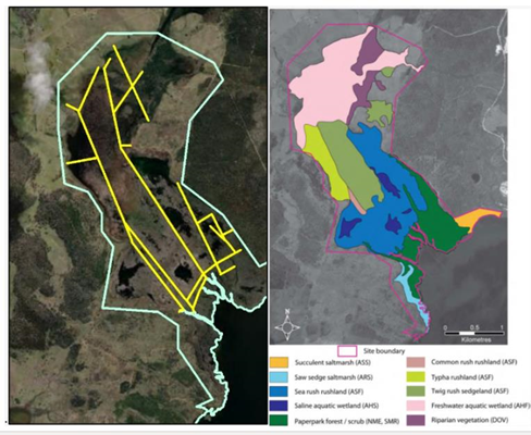
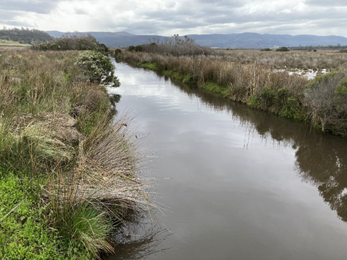
The network of drains across the site, likely established in the early to mid-1800s, appears to have impacted on the water regime and hence wetland vegetation. Whilst freshwater dominates the north of the site and saltwater the south, the central marsh area is now essentially split into separate ‘cells’, the boundaries of which align with the drains and levees, and each containing its own distinct wetland vegetation community. These differences in vegetation have likely developed in response to different water and/or salinity regimes within each cell. There is anecdotal evidence that saltwater is pushing further inland, up these drains during high tides and that this has increased salinity and altered the water regime of the Marshes in recent decades.
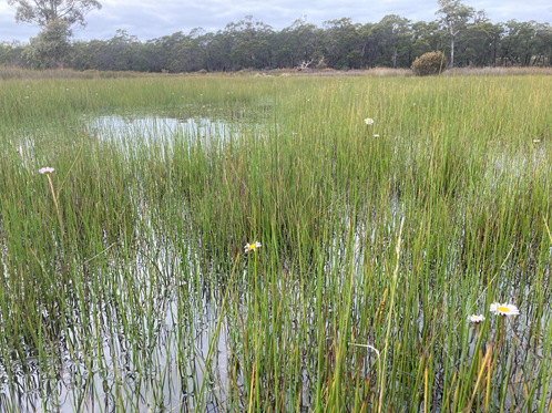
Whilst drains have obviously influenced the eco-hydrology of the Marshes over the past 150+ years, the site continues to support an incredible range of wetland diversity and threatened species. Up to five Australasian Bitterns (endangered nationally) were heard throughout the site and a pair of White-bellied Sea-eagles (endangered in Tasmania) were observed overhead.
Next steps in our investigation of the Apsley Marshes include to consolidate our understanding of the site and to develop and implement an eco-hydrological monitoring program. We look forward to sharing key monitoring questions and program design with you in future.
This important work is supported by NRM South, with funding provided via the Australian Government’s National Landcare Program.