Defining the big dry, and why Long Swamp is still wet despite the trend
In last week’s blog about Gooseneck Swamp, we saw up close just what the recent dry run of weather has meant for upper Wannon River wetlands that rely on the river for their inflows.
This week, we take a look at the continental scale data that explains why things are definitely as dry as they feel (and a bit of welcome rain over the last few days doesn’t change this trend…)

National Rainfall Deficiency Data from the Bureau of Meteorology, as shown on ABC’s Landline
As you’ll see on the map above, much of NGT’s focal region between Melbourne and Adelaide is experiencing its lowest rainfall deficiency (over a 3 year period) on record.
A slither of our coast has not been quite so hard hit, and in some locations is also buffered to some extent by groundwater inflows – like our restoration trial site at Long Swamp.
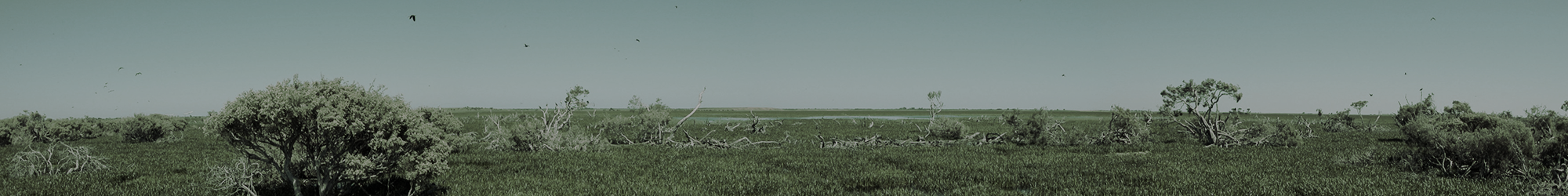
So while our inland wetland restoration sites are really struggling this year, Long Swamp is a shining light that is bucking the trend by providing more diverse aquatic habitats than it has for many decades – thanks in no small part to the success of the trial – despite the drier than average background conditions. As you’ll see in the image below, the swamp is rapidly adjusting to the new water regime, with the aquatic zone now bouncing back (it has turned green with new growth!) and a fringing band of terrestrial species (largely coastal wattle) now starting to die-back (browning off) as the vegetation communities shift back upslope.
Despite the lack of rain over recent months, levels are holding nicely. But that’s enough from me – check out the images below – the results really speak for themselves!

Long Swamp inland of Nobles Rocks – showing the wetland habitat adjusting to the new water regime.