The Long Swamp Restoration Trial: Commemorating 100 years since the last major community sandbagging project on the Discovery Bay coast
In Australia recently it has been hard to escape the media attention being given to mark the centenary of the Gallipoli landing on the 25th of April 1915. A lesser know (and certainly lower profile!) fact is that 1915 was also a very significant year for the people of Nelson, as well as for fisherman in the wider district, as it marked the completion of a project that had been 9 years in the making.
You see in 1906, the original course of the Freshwater Creek (also known as Albrecht’s, Glover’s or Eel Creek) that used to flow from Piccaninnie Ponds across the border and into the western side of the Glenelg River near its mouth was diverted to the sea through the dunes, on the Victorian side of the state border. Just for geographic clarification, Long Swamp, whose outlet flow path is also locally known as Eel Creek, is situated on the opposite (eastern) side of the river, and flows into Oxbow Lake.
![1851_Past_lease_Diagrams_Volume_4_page_193 [cropped Picc Ponds]](http://natureglenelg.org.au/wp-content/uploads/2015/05/1851_Past_lease_Diagrams_Volume_4_page_193-cropped-Picc-Ponds.jpg)
Piccaninnie Ponds and the Freshwater Creek as mapped in May 1851 by William Blandowski – a portion of Neil Black’s run, pastoral lease no.193, ‘Warreanga’.
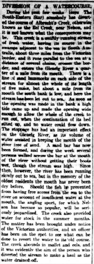
As you’ll see in the article below, there was much consternation in the local community about the impact that the loss of these flows would have on the fishing in the Glenelg River and the importance of these flows for keeping the mouth of the river open. This was a theme that would continue unabated over the years ahead, as local fisherman considered ongoing poor fishing near the river mouth was caused by the 1906 diversion of Freshwater Creek.
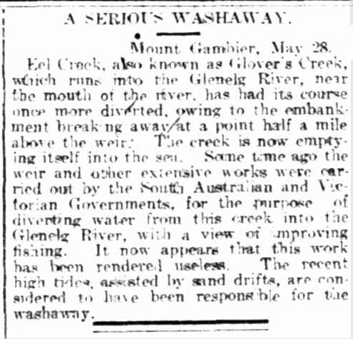
Being so close to the state border, including the remoteness of the location and its distance from the relevant state authorities in Melbourne and Adelaide, led to some difficulties in getting a project underway to reinstate flows to the river. Eventually, after a great deal of community angst, technical investigations and political lobbying over several years, a cost sharing arrangement was agreed by the relevant government departments in both states, and the works were completed in early 1915. At a cost of 1000 pounds, this was a significant project, with an estimated worth in today’s terms (thanks to the RBA on-line inflation calculator) of about $96,000.
The article below explains how, after the failure of an attempt a few weeks earlier, an ‘army’ of local volunteers assisted the government employed contractors to get the job done. Thankfully we also have access to a few old images (courtesy of the Mt Gambier Library) that help to really bring this 100 year old story to life.
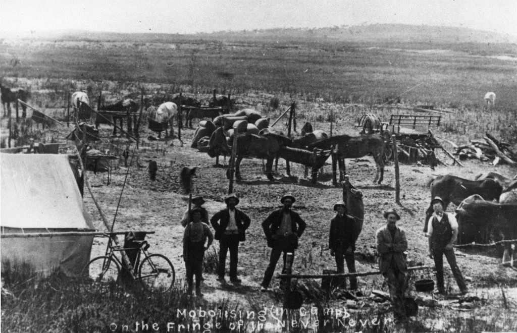
The camp where the workers were based.
Image courtesy of the Les Hill Photographic Collection, Mt Gambier Library.
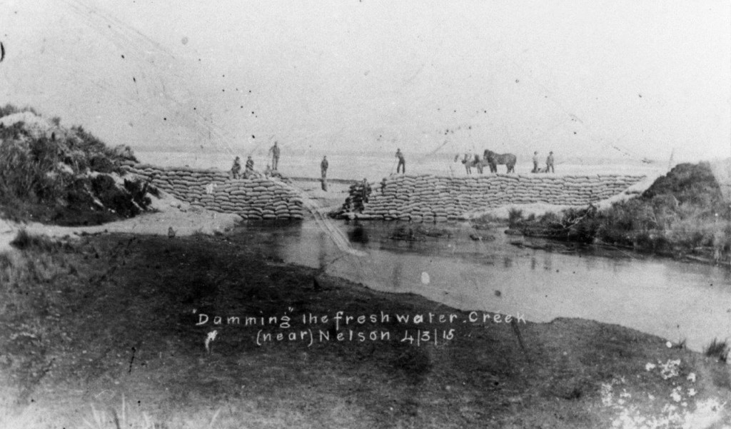
Sandbagging the first artificial outlet from Freshwater Creek near Nelson.
Image courtesy of the Les Hill Photographic Collection, Mt Gambier Library.
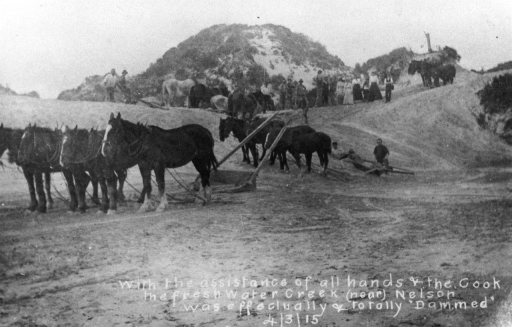
The coastal side of the completed structure, showing the additional sand that was backed up against the sandbag weir to protect against high seas, after the failure of the first structure.
Image courtesy of the Les Hill Photographic Collection, Mt Gambier Library.
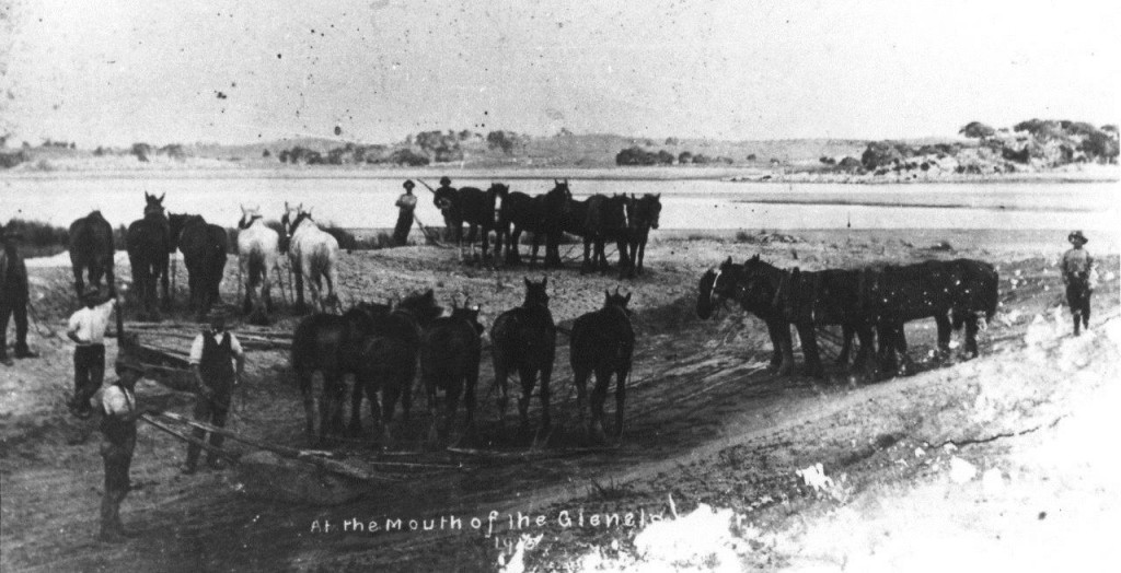
The newly created flow path for Freshwater Creek (due to the original channel being lost to drifting sand), at its terminus near the Glenelg River mouth.
Image courtesy of the Les Hill Photographic Collection, Mt Gambier Library.
But unfortunately the works were ultimately in vain, for 2 years later in 1917, the Freshwater Creek again broke through to the sea, a short distance upstream of the 1915 sandbag weir, right near the SA/Victoria border. With this turn of events, all hopes of returning flows to the river were abandoned. Some time later, but before 1944 (the year of the earliest aerial photograph of the area), the existing artificial outlet from Piccaninnie Ponds to the ocean (sometimes also later referred to as Ellard’s Creek) was cut and this is the outlet that has been regulated since 2006 to begin the process of restoring water levels in Piccaninnie Ponds Conservation Park (a reserve since 1976).
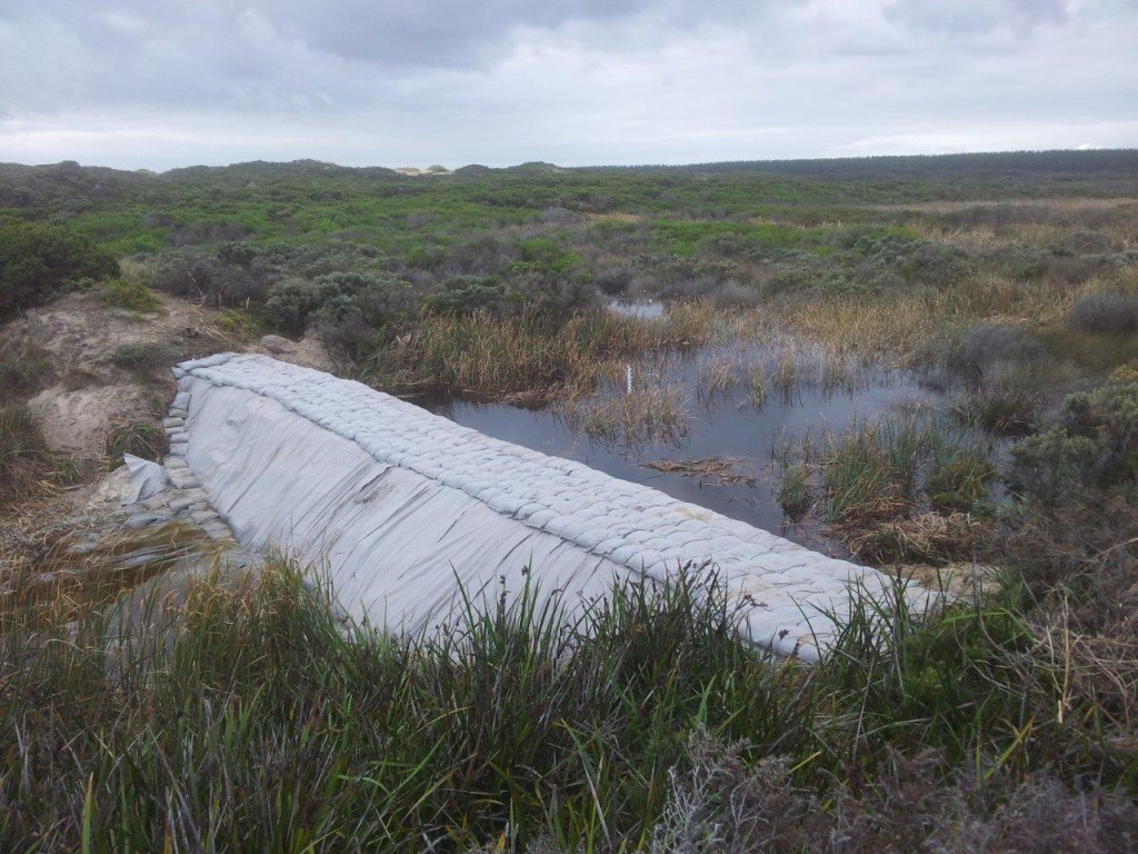
And as for the major sandbagging operation we have just completed – exactly 100 years later in nearby Long Swamp, upstream of the ‘other’ Eel Creek outlet on the opposite side of the Glenelg River – we’ll be doing our very best to ensure the project has a better chance of long-term success!


