Monitoring underway adjacent to Moulting Lagoon
After our previous update back in May, NGT’s work on the east coast of Tassie continues…
Following several site visits, discussions with landholders and community, updated drainage mapping and review of historical information, we identified the key questions regarding potential impacts of the old drains and levee banks on the Grange and Long Point properties, which include key areas of saltmarsh located on the margins of the Moulting Lagoon Ramsar site:
- What impact are levees and drains having on water movement and levels across the landscape?
- What impact are the levees and drains having on water quality, particularly salinity?
- What impact have drains had on the connectivity of wetlands and saltmarsh to tidal areas in Moulting Lagoon?
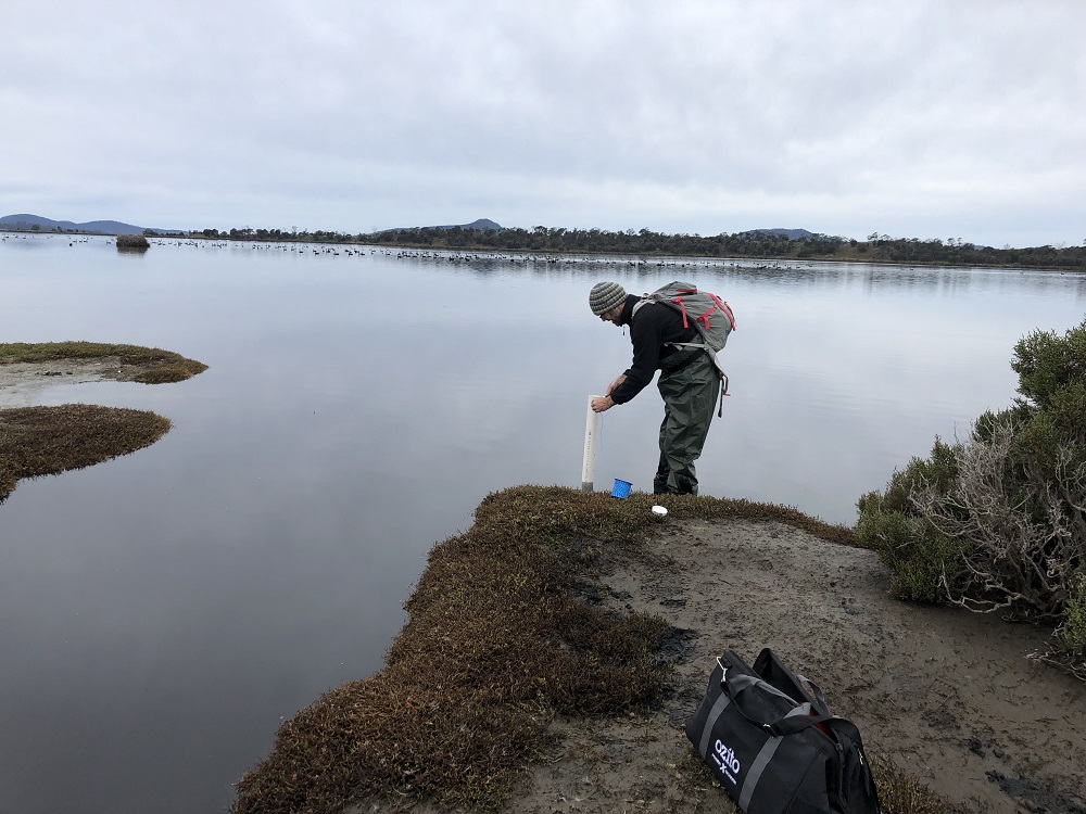
To answer these questions, NGT has developed a monitoring program for the area and on the 23rd & 24th of June, Ben Taylor and I made the trip up the east coast of Tassie to install our monitoring equipment.
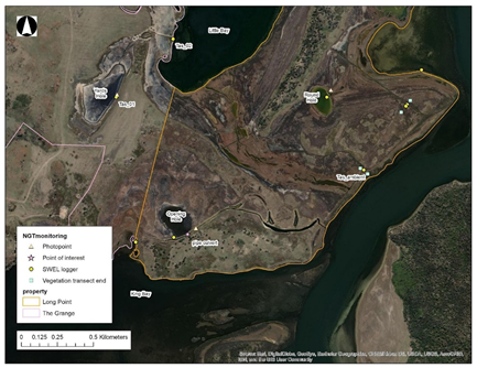
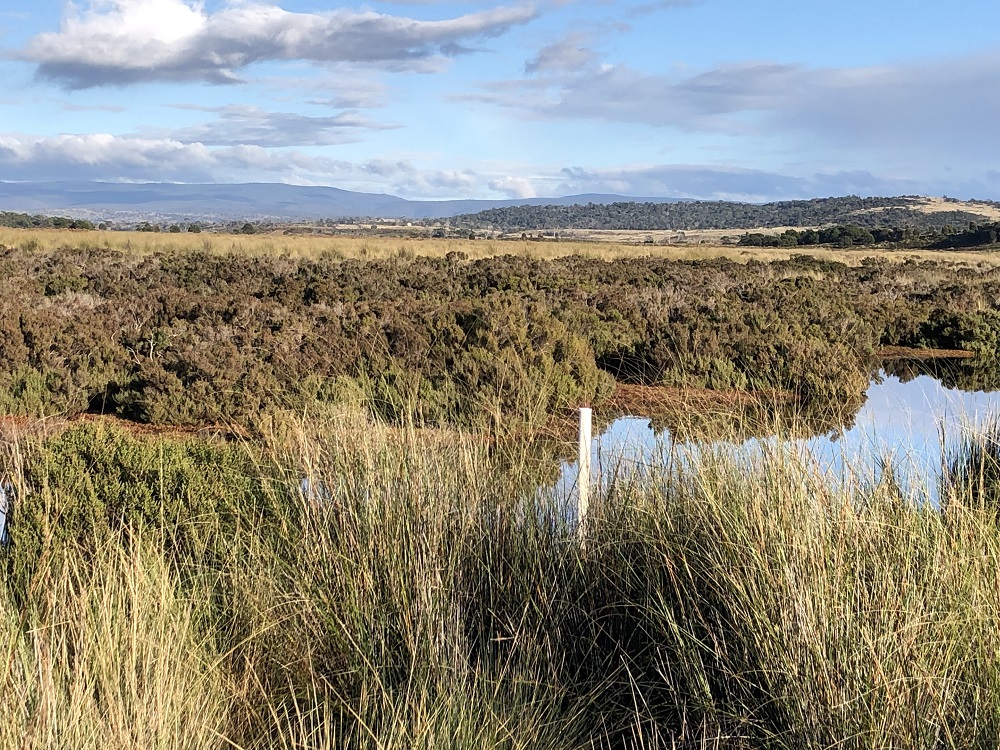
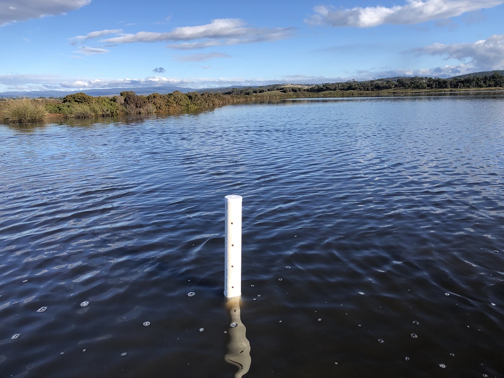
We are monitoring water level and salinity in each of the wetlands and nearby tidal areas across both sites, as well as on either side of the main levee and drain on Long Point. We’ll also monitor vegetation on either side of the main levee in attempt to identify any changes due to historic levee construction. Photo points were installed at each site and will allow us to track change over time (including if any future restoration works take place) and relate visual changes to our water level data.
It’s an exciting next step in the unfolding Moulting Lagoon and Apsley Marshes Restoration Project!
Next time hopefully we can share some data with you and our plans for monitoring at the nearby Apsley Marshes.
This important work is supported by NRM South, with funding provided via the Australian Government’s National Landcare Program.