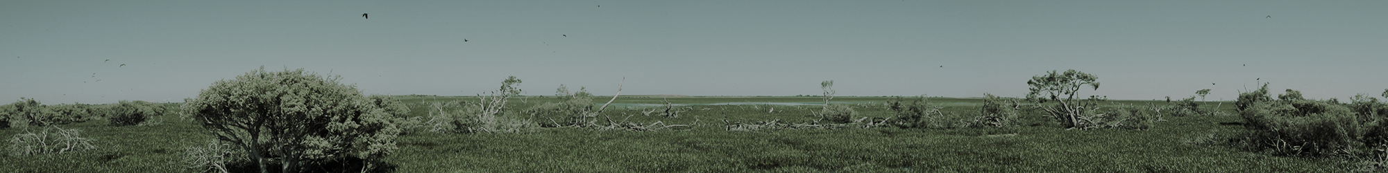
A form of prioritisation is required in South Australia to assist NRM policy makers and on-ground managers. Historical prioritisation of wetlands has relied on high level national listings such as the Directory of Important Wetlands of Australia (DIWA) and Wetlands of International Importance listed under the Ramsar Convention. At a regional scale however, this approach is now widely regarded as not providing sufficient “resolution” for identifying the true extent of high value regional wetland features; hence contemporary prioritisation approaches recognise the importance of diversity and extent of regional wetland types. In line with the River Murray – South East NatureLink Plan, planning around wetland connectivity, diversity and extent have become key strategic directions for wetland management in the South East region.
The classification of wetland types across any region relies on a framework upon which to base meaningful delineations. Both the Australian National Aquatic Ecosystem (ANAE) and South Australian Aquatic Ecosystem (SAAE) frameworks achieve this by assigning values across a number of physical measures for each wetland. The result is a unique concatenation of descriptions for some or all of the following parameters:
- permanence;
- regional setting – drainage division/sub-IBRA region;
- landscape setting;
- landform;
- hydrological regime;
- hydrological source;
- salinity; and,
- predominant vegetation type.

NGT will finalise the development of a Wetland Condition Assessment Tool for the South East NRM Region over the next 6 months
Under these classification frameworks, “types” constitute wetlands that have matching combinations of parameter values. By linking with a geomorphic foundation, this approach allows a transparent and logical overlay of threats and their potential to interrupt key ecosystem drivers. This link between wetland type and response of ecosystem drivers to threats is the basis for the condition assessment framework being trialled.
This project will take the Wetland Condition Assessment Tool from its current development stage (as developed by the Nature Conservation Society of SA in a previous project) through field testing and refinement, to deliver a tested and functioning tool for regional use at range of scales.
Nature Glenelg Trust is managing and delivering this project in partnership with the Conservation Council of SA and the Nature Conservation Society of SA. The project is funded by the Department of Environment, Water and Natural Resources.
- Article from the Coastal Leader, Kingston October 28, 2012Lachlan, Cath and Alix have been in the Kingston area over recent weeks, undertaking the field work trials for the Wetland Condition Assessment Tool (WetCAT) Project, and talking to people about the Wetland Restoration Program for Private Land. Below is a great little article the Coastal Leader published in the Kingston paper a couple of weeks …
- NGT awarded a grant to finalise the establishment of a Wetland Condition Assessment Method in the South East of SA July 5, 2012Late last week I was notified that NGT has been successful in a grant application previously submitted to the Department for Environment, Water and Natural Resources in SA. The grant will see NGT deliver the final field verification and testing stage of a Wetland Condition Assessment Tool (also known as WetCAT for short) for use …
No Comments