Making sense of urban flooding in and around Melbourne – what can history tell us?
Over the past several newsletters, we have talked quite a bit about flooding and its impacts in urban areas. These discussions occurred in the wake of the major rainfall events throughout last year. If you missed those stories, you can read them by following these links:
- January 2023: flooding triggers discussion about development of Australia’s floodplains
- November 2022: flooding, engineering philosophies and urban planning
- October 2022: reimagining the future of the wallan wallan wetlands
- July 2022: pausing to think about urban development in floodplains
- June 2022: blind spots in urban planning around Melbourne
As a follow-up to this these stories, I recently came across a really great ABC news article that explored a little of the history of flooding in Melbourne, and it probably shouldn’t come a surprise that, of course, this is not a new thing!
As the article states, many flood prone areas have already been developed, so we can’t turn back the clock. These areas will continue to carry flood risk despite modern efforts to reduce that risk. But now, more historic wetlands and floodplains have been inadvertently included in areas designated for urban growth without strategic land capability assessment work being done first to exclude them. The key question for the community moving forward, is ‘do want to keep developing in these areas?’ – because, as we have explored in the linked stories above, this type of urban development is most certainly still occurring.
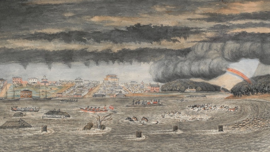
If this is a topic that interests you, I think you will enjoy the ABC news article and the fascinating old photos and stories it shares, like this dramatic painting from 1849 of a flood in Melbourne (below).