Progress at Minyumai, North Coast NSW: A plan in place and baseline monitoring underway
Ben, Lachie and Mark recently returned to the NSW North Coast near Evans Head to continue NGT’s work at Minyumai Indigenous Protected Area (IPA). As described in previous blogs, Minyumai IPA is owned and managed by Bundjalung Traditional Owners, who are restoring the native vegetation of the property in areas where it has been disturbed by past clearance and drainage activities, dating back to the time when the property was used for cattle grazing.
Our project aims to restore the natural hydrology of an area of recovering swamp oak (Casuarina glauca) and paperbark (Melaleuca quinquenervia) forest that is affected by a deep (up to 4 m) erosion gully. The gully has formed over what was originally a shallow (about 1 m deep) excavated drainage channel, to dry the area for pasture establishment. In addition to the project’s ecological objectives, we also aim to build the capacity of the Minyumai Land Holding Aboriginal Corporation (MLHAC) when it comes to undertaking hydrological restoration activities across the 2,163 hectare property.
Below you can see how much the area has naturally recovered since it was cleared and drained from the 1970s. What you can’t see from these aerial photos however, is the deeply eroded gully, and the weedy pasture grasses dominating the understorey (visible in the next photo below). These are problems which won’t go away on their own, and require the function of this natural floodplain to be restored. Assessing ecology and hydrology together is an NGT specialty, so we have been willing to do what we can to assist.


Working with project partners the Mulloon Institute and Give Soil a Chance, we have developed a conceptual design for a gully dam to be constructed on the erosion gully. The gully dam will cause water to back up and spill laterally out of the erosion gully, re-hydrating the surrounding floodplain and thereby supporting the recovery of the swamp oak/paperbark forest. In particular, a wetter floodplain should favour native understorey species and disadvantage introduced grasses. The gully dam will also trap eroded sediment that is currently being transported downstream and deposited into adjacent Bundjalung National Park during high flows. One of the risks of the works is that water diverted out of the gully may re-enter it further downstream, potentially causing further erosion. The location of the gully dam has been carefully chosen to minimise this risk.
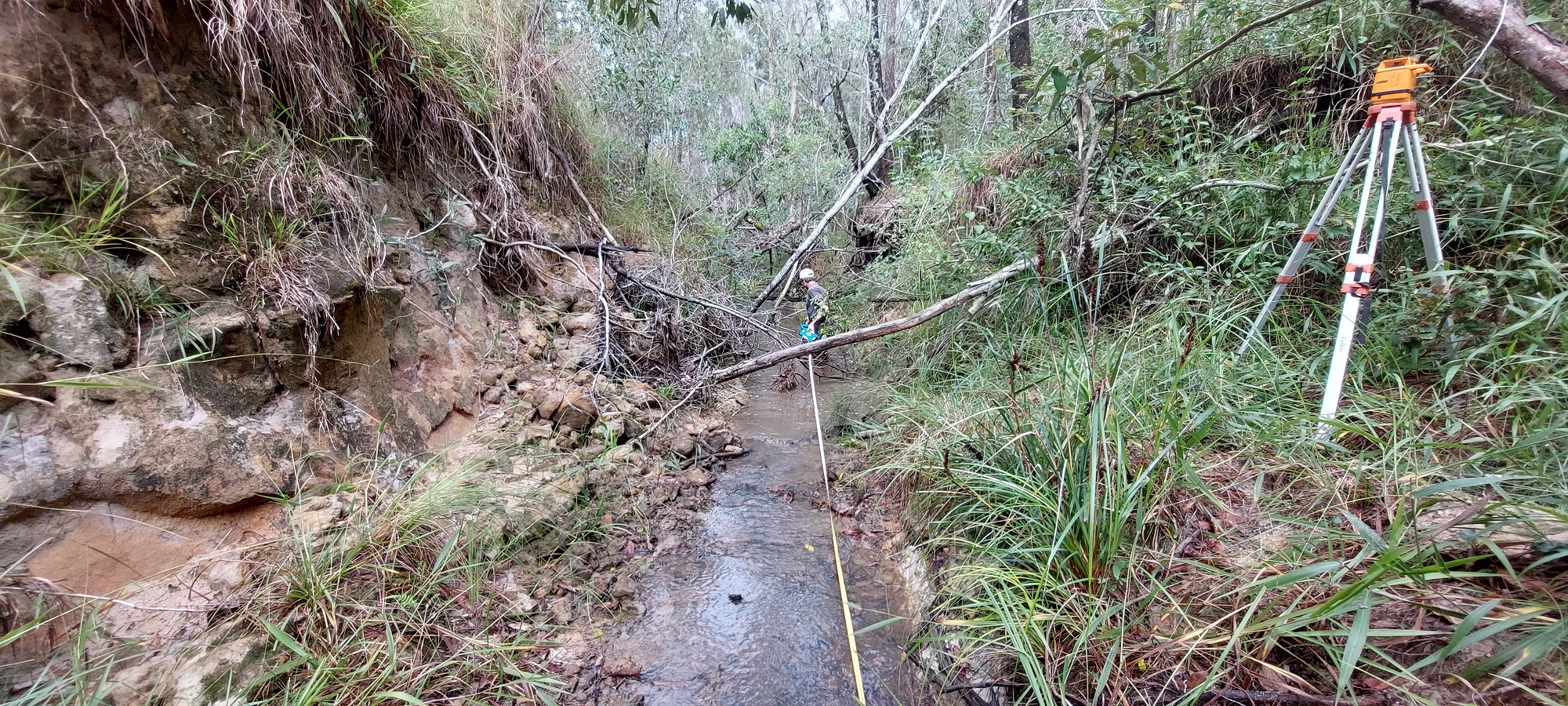
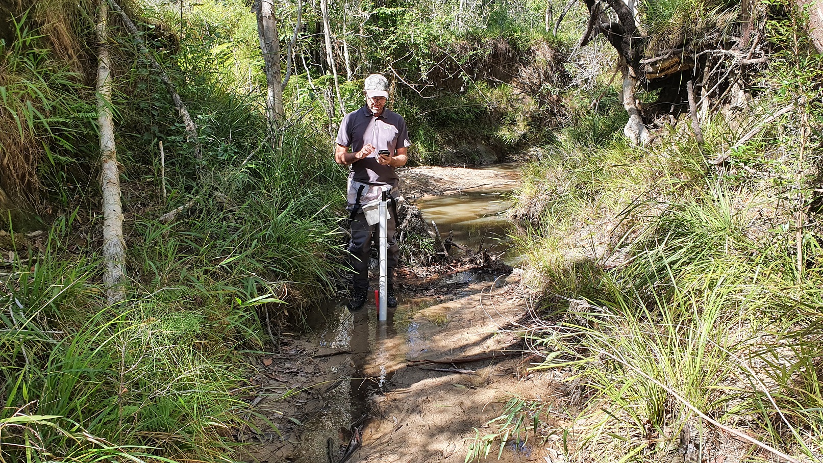
To take the project from a concept to detailed design, and to obtain the necessary approvals for this “controlled activity“, we accurately measured elevations around the proposed works location using a laser level. We also installed three new water level loggers, which will obtain baseline (pre-restoration) water level data within the erosion gully upstream and downstream of the proposed works location and also on the adjoining floodplain. These data will enable us to measure the hydrological outcomes of the works once completed.
The Mulloon Institute have long been advocating for a National Code of Practice for Landscape Rehydration and Regeneration to streamline the complex approvals process for works such as those we are planning at Minyumai. This episode of ABC’s Landline program from 12th March 2023 discusses the issue – the relevant segment begins at 42 minutes and 40 seconds.
This project is supported by the NSW Environmental Trust and the Bandjanlang Clan, who are the Traditional Owners and custodians of Minyumai IPA.