Taking a closer look at the eco-hydrology of the upper Wannon River in the Grampians National Park
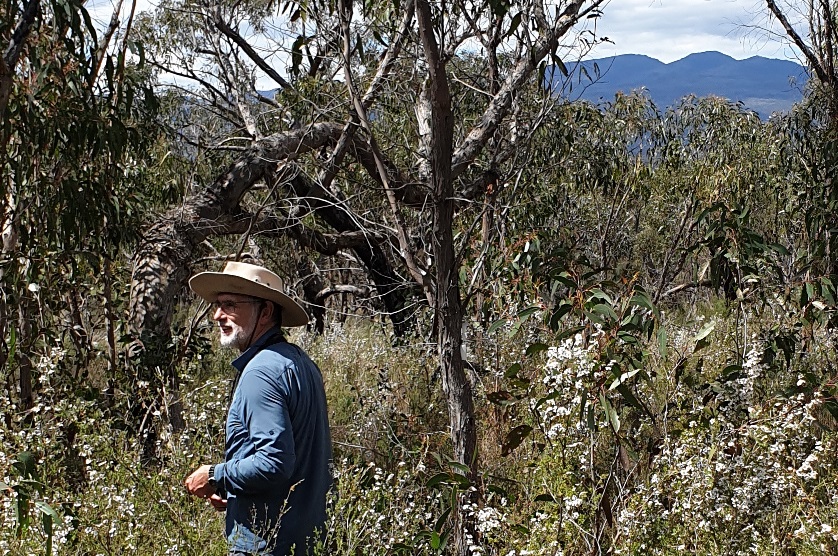
Thanks to a recent grant funding announcement by the Australian Government, in July NGT will commence a 3 year investigation – to be led by NGT”s Dr Greg Kerr – where we will take a closer look at the ecology and hydrology of the upper Wannon River in the southern Grampians. For any readers who are not familiar with western Victoria, the Wannon River is the main waterway feature in the south-eastern portion of the Grampians National Park, and is home to a range important ecological values, as well providing the source of flows for important downstream habitats.
The new project recognises that the river has been impacted by a number of historic modifications, some of which have never been fully documented or assessed, and noting that most were in place long before the Grampians were designated a National Park in the 1980s. Hence we will establish monitoring sites and undertake ecological and hydrological assessments along the Upper Wannon River in the National Park between Mt William and Dunkeld, to better define and articulate the impacts associated with these changes.
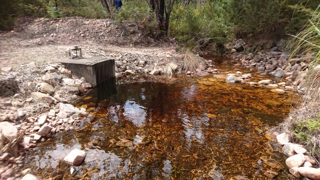
While there are many past changes to understand, one of the better known ones includes the artificial diversions that take place every winter and spring, of flows from the upper Wannon River tributaries from Mt William (i.e. flows are currently diverted north into Lake Bellfield, a reservoir in an adjacent catchment); a management regime that has been in place since 1970.
The information we gather will aid ongoing discussions about the river’s ecological values in the National Park, its importance to downstream landholders and the community, and future management options.
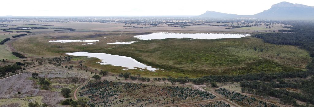
Nature Glenelg Trust has a strong and ongoing interest in the health of the upper Wannon River because not only does it provide a range of important natural values in its own right, but over the past 9 years we have also been working hard with Parks Victoria, the Glenelg Hopkins CMA, the local community and others, to improve the condition and health of in-stream wetlands fed by the river that straddle the boundary of the Grampians National Park. We have done this by reversing the impacts of past artificial drainage with the support of neighbouring landholders. These wetlands include Gooseneck, Brady and Walker Swamps.
More information about the restoration story of these wetlands can be found from page 4 of this pdf.
Although the project doesn’t officially kick off until July, if anyone has observations about the health of the Wannon River, especially prior to 1970, we’d encourage you to get in touch by emailing me at: mark.bachmann@ngt org.au or emailing Greg at:
2021-05-06-Heritage-Grants-article-Hamilton-Spec-p-13This project is supported by Parks Victoria, and the Australian Government via the Australian Heritage Grants Program 2020-21.