The transformation of habitat at Piccaninnie Ponds and Pick Swamp
Given NGT’s wetland restoration program will soon begin helping private landholders to restore their swamps – you may have wondered what the “restoration” of wetland habitat looks like on the ground?
What better day to share some real examples with you than today, from the newly listed Piccaninnie Ponds Ramsar site – from my “previous life” so to speak…
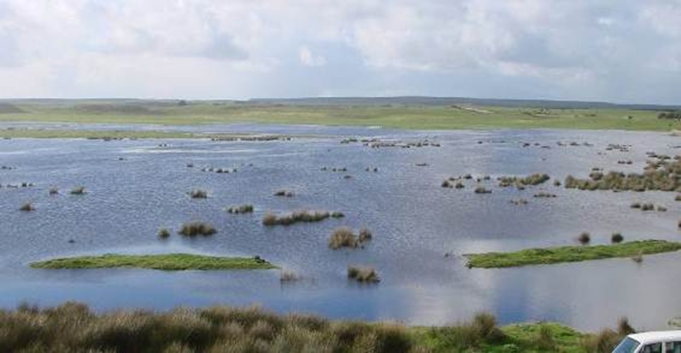
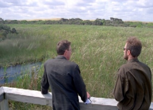
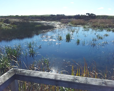
Example 1 – transition of existing wetland habitat, upstream of the Piccaninnie Ponds Artifical Outlet. Even though situated within the reserve at Piccaninie Ponds, this site had been subjected to a long-term (decades long) drying trend as a result of the free-draining artifical outlet to the sea, causing an encroachment of vegetation and loss of open-water aquatic habitat. Stage 1 weir and fishway structure built in 2006 – project co-ordinated by Ben Taylor.
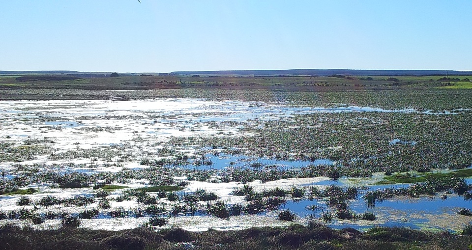
Example 2: wetland restoration over former farm land at Pick Swamp (to the west of Piccaninnie Ponds) – drained and developed for grazing in the 1970’s. Property purchased for restoration in 2005; experimental restoration works commenced in 2007; formal weir, spillway and levee built to enable full restoration in 2009 – projects co-ordinated by Steve Clarke and Scott Slater.