Wannon River insights Part 2: So how did the wet spring of 2022 compare to past flows?
Over the past few years we have been investigating flow patterns in the upper Wannon River, and providing comparison to past data. This investigation is part of a three year project and important for the future health of the Wannon River, which is the main waterway feature in the south-eastern portion of the Grampians National Park. The Wannon River is home to a range important ecological values, as well providing the source of flows for important downstream habitats. You can read ‘part 1’ of this series here.
When analysing flows longer term, the flow gauge network offers us a relatively long-term data set and some insights into climate patterns over the past 50 years. As discussed in a previous article, the 2022 spring saw some very significant rainfall and this did translate into noteworthy flows down the Wannon River. It has also provided us with some really interesting information around the filling and drying patterns of wetlands of the Upper Wannon, which we’ll unpack in a future story.
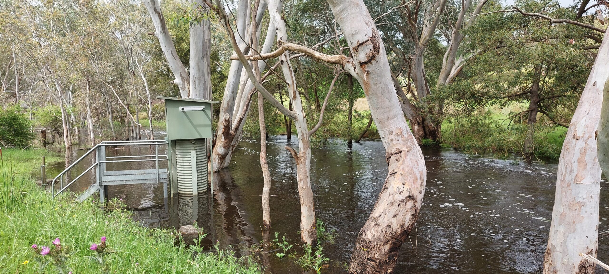
For now, we are focusing on understanding just how significant the flow events of 2022 were in terms of what has been measured since 1950. We have several points for comparison including multiple flow gauging stations and observation points (see below). This data is maintained by the Victorian state government is publicly accessible through the Water Measurement Information System.

By recent standards, the 2022 flow season (July 1 to June 30) was the most significant event for the Wannon River since 1992, marginally eclipsing the big summer-driven episodic rainfall event of 2010/2011. While it is not surprising, given it really was a record-breaking spring for rainfall, it does highlight that flows are generally becoming more variable, compared to what they were prior to the mid-1990s.
The other interesting trend, and one which demonstrates cumulative effect, is the insight provided by a look at groundwater levels of the upper Tertiary aquifer. This aquifer is recharged by more recent rainfall patterns than deeper aquifers (which are sometimes recharged over periods ranging from thousands to millions of years).
For example, groundwater observation well 45815 is located on the northern extent of the Brady Swamp floodplain and 53518 is located on the southern edge. Both these wells show a remarkably similar trend with a notable step-change decline after 2014, coinciding with two successive low rainfall years. There is seasonal variation, as we would expect with varying rainfall, and base levels have slowly been recovering since 2016 but as of March this year, these base levels are still well below those prior to to 2013. The trend further up the Wannon (well 87750) shows a sharper decline from the mid 1990s, but a general stabilisation following the significant 2010/11 summer rainfall event. We’re yet to see an update for this site beyond August 2022, so for the time being the impact of the October 2022 rain event remains unknown.

If we dig a little deeper, there are also some important trends regarding the frequency of low-flow months.
For the entire period that flows have been measured for the Wannon River at the Jimmy Creek Campground, monthly flow totals have been less than 10 ML on 26 occasions. That’s only 3% of the time since 1950. However, 21 (80%) of those have occurred since 2009. Diversion of the Wannon River headwater streams into Lake Bellfield place an additional constraint on these waning flows, possibly of increasing importance in a drying climate, but are clearly not the only culprit given that these diversion works were completed in 1970.
Lower downstream, at Dunkeld, zero monthly flows have been recorded on 162 occasions (from records back to 1970). If we look at the number of no flow months within a given year, there is an emerging trend where these are increasing. In summary, low flows in this section of the river are not unprecedented, but the number and duration of these low flow periods is increasing. This has implications on the amount and condition of aquatic refuge through these lower reaches.
We would expect, based on other recent high flow years (2011 and 2016) that this year will see flows continue throughout the early part of 2023. Based on some additional monitoring infrastructure we have installed, as part of a wider investigation into the eco-hydrology of the upper Wannon River (through funding and support from Parks Victoria and the Australian Government via the Australian Heritage Grants Program 2020-21) we have seen that flows in the Wannon River, immediately downstream of Brady Swamp, ceased by January this year. We have seen in other years that, even though the stream does not appear to be flowing here, there can still be groundwater sustained base-flows further downstream, near Dunkeld. So the occurrence of zero flows at Dunkeld provides an additional insight into local groundwater trends as well.
Stay tuned and we’ll unpack the new monitoring data in the next “Wannon River Insights” installment, including what eight years of detailed water level monitoring across the Brady and Walker Swamp complex tells us about the hydrology of the upper Wannon.

NGT is currently investigating the eco-hydrology of the upper Wannon River within the Grampians National Park, thanks to the support of:
Parks Victoria and the Australian Government via the Australian Heritage Grants Program 2020-21.